The Conference Proceedings of outstanding papers and posters submitted to the Academic Program of the International Conference for Free and Open Source Software for Geospatial (FOSS4G), 14th to 19th August 2017 inRead More…
JRC makes its ship-detection software open source
The Joint Research Centre (JRC) has released the software of its SUMO maritime surveillance tool, which is helping to protect our oceans by detecting ships engaged in illicit activities (i.e. illegal oilRead More…
OGC Announces New 3D Portrayal Service Standard
The membership of the Open Geospatial Consortium (OGC®) has approved the 3D Portrayal Service (3DPS) 1.0 standard. Viewing 3D geospatial content from diverse sources has just become easier with the release ofRead More…
Big Data – Nutzen für kleine und mittlere Unternehmen
Ein vom Wirtschaftsministerium gefördertes Forschungsprojekt, an dem Disy mitgearbeitet hat, kam nun zum erfolgreichen Abschluss. Im Rahmen von „SmartRegio“ wurde erforscht, wie kleine und mittlere Unternehmen Massendaten aus verschiedenen Quellen als GrundlageRead More…
Erfolgreiche INTERGEO 2017: Disy feierte 20-jähriges Firmenjubiläum
Die Disy Informationssysteme GmbH feierte auf der diesjährigen INTERGEO vom 26. bis 28. September ihr 20-jähriges Bestehen. Seit zwei Jahrzehnten steht das erfolgreiche Unternehmen aus Karlsruhe für GIS und Reporting made inRead More…
From Photosystems to Ecosystems: Workshop, 24-26 October 2017, Potsdam
Greenhouse gas (GHG) flux measurements are key to understanding the drivers of global climate change, the short- and long-term consequences of ecosystem management, and related changes on multiple scales. Such information contributesRead More…
GIS- und Reporting-Plattform Cadenza in neuer Version verfügbar
Die Disy Informationssysteme GmbH hat die neue Version der GIS- und Reporting-Plattform Cadenza veröffentlicht. In der vorliegenden Version wurden die beiden Daten-Welten von Sach- und Geodaten noch enger miteinander vereint. Zu denRead More…
Reminder – Submission of abstracts for the 2nd International Workshop on Spatial Data Quality 6th – 7th Feb 2018
Reminder – Submission of abstracts for the 2nd International Workshop on Spatial Data Quality 6th – 7th Feb 2018 This is a reminder that the deadline for submitting abstracts for the freeRead More…
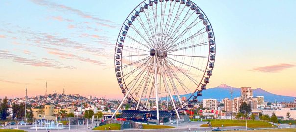
AGSE Workshop at Smart Data conference in Puebla/Mexico 4.-6.10.2017
HFT Stuttgart nnounces that they organise an AGSE workshop in Puebla / Mexico as part of the second Smart Data and Smart Cities conference 4.-6. October 2017. The conference will be 4.Read More…
Disy hält auf dem INTERGEO-Kongress Vortrag über Geodateninfrastrukturen in der öffentlichen Verwaltung
Die Disy Informationssysteme GmbH präsentiert auf der diesjährigen INTERGEO vom 26. bis 28. September Highlights aus dem Software- und Dienstleistungsangebot. Neben der brandneuen Cadenza-Version und der mobilen Datennutzung auf Smartphones wird zusammenRead More…


